Weston Langford Railway Photography
Documenting railways and related infrastructure since 1960
New Zealand South Island
1671 photos listed 20 per page.
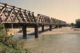
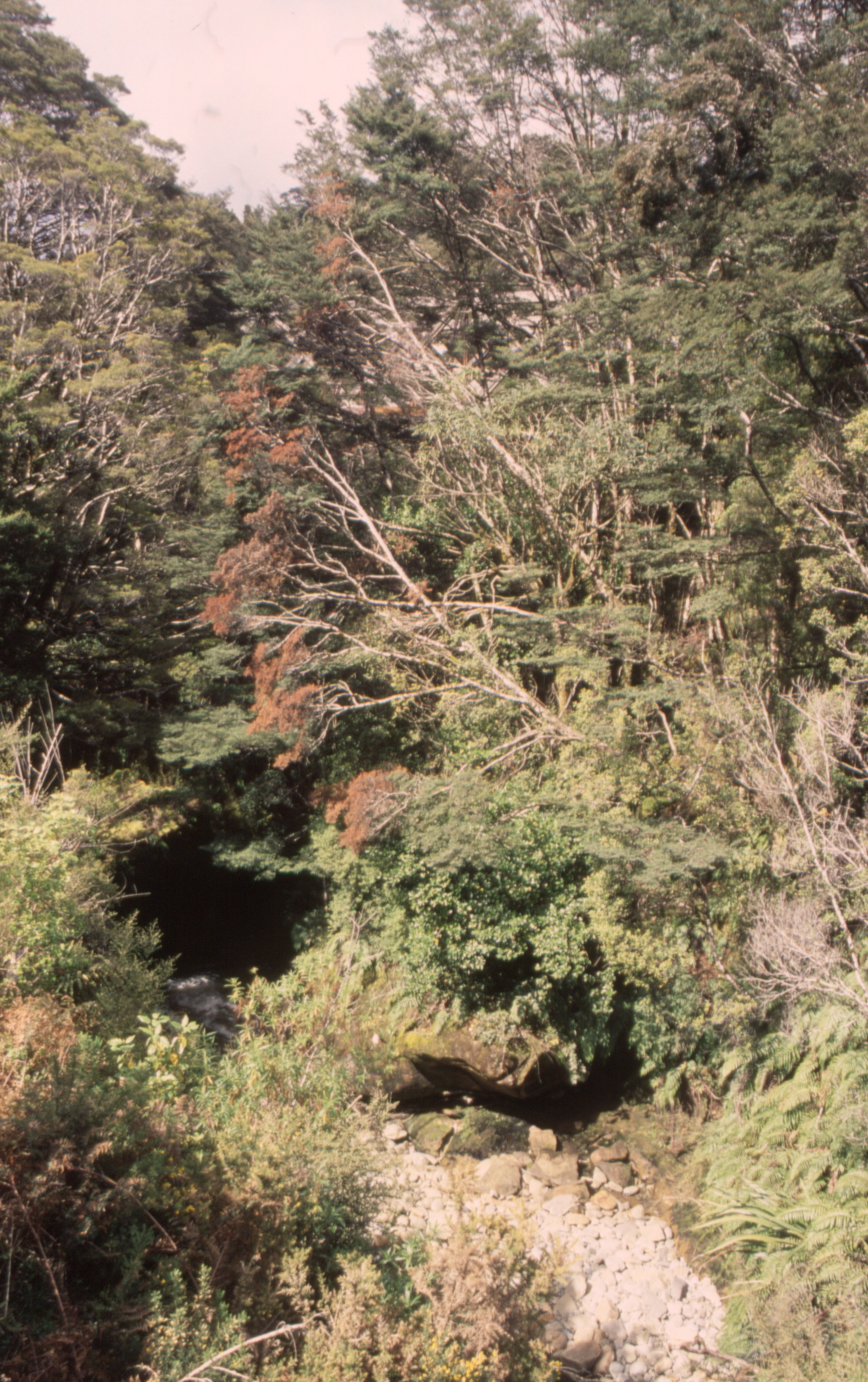
- 131884: Arahura River Bridge North abutment looking South
- Date Taken: 30 October 2006
- Country: New Zealand, State/Region: South Island.
- Link to high resolution image: /media/photos/131884.jpg
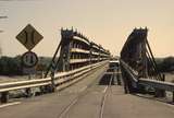
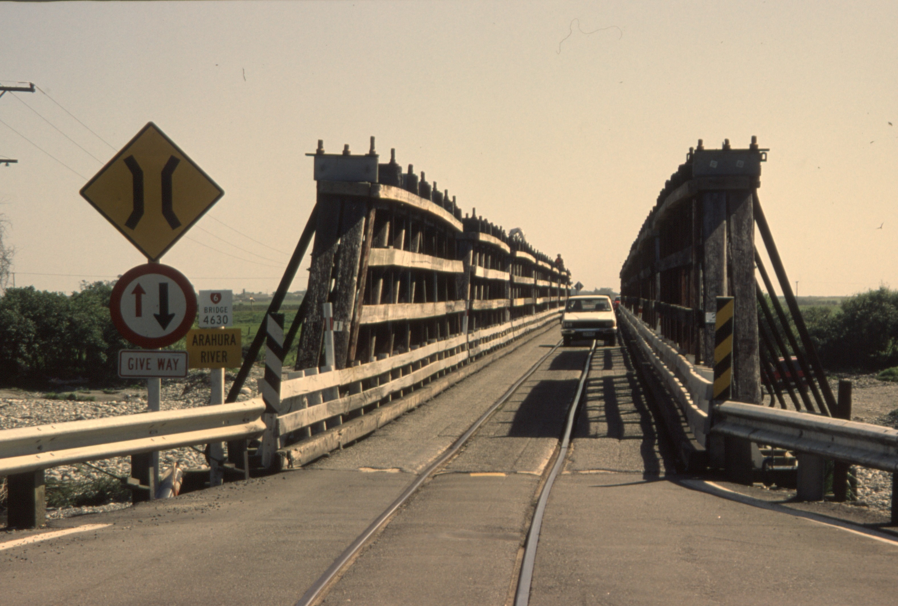
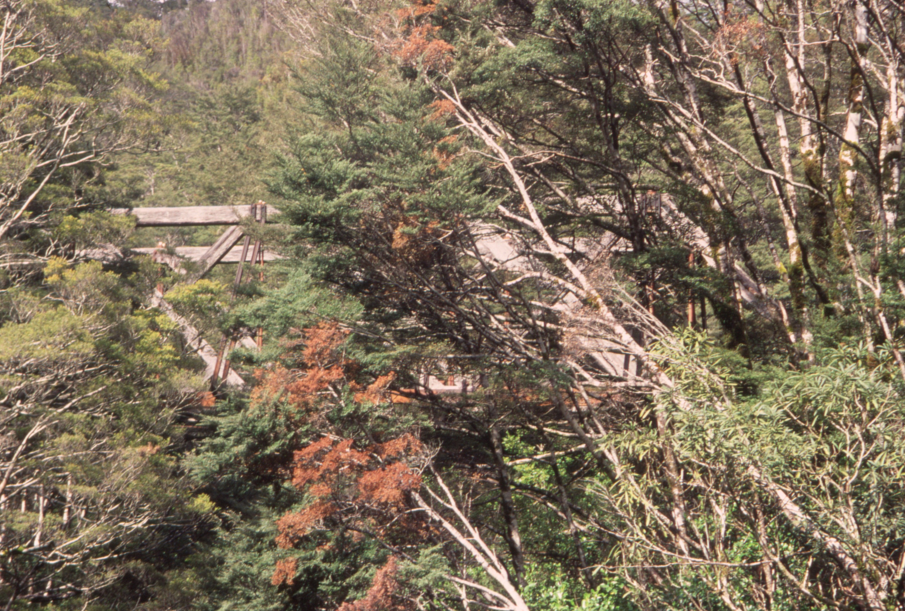
- 131885: Arahura River Bridge viewed from North Abutment looking South
- Date Taken: 30 October 2006
- Country: New Zealand, State/Region: South Island.
- Link to high resolution image: /media/photos/131885.jpg
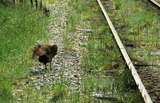
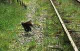
- 401013: Shantytown South Island NZ Weka
- Date Taken: 30 October 2006
- Country: New Zealand, State/Region: South Island.
- Link to high resolution image: /media/photos/401013.jpg
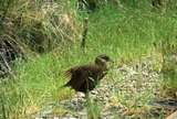
- 401014: Shantytown South Island NZ Weka
- Date Taken: 30 October 2006
- Country: New Zealand, State/Region: South Island.
- Link to high resolution image: /media/photos/401014.jpg
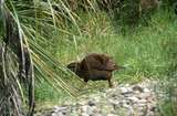
- 401015: Shantytown South Island NZ Weka
- Date Taken: 30 October 2006
- Country: New Zealand, State/Region: South Island.
- Link to high resolution image: /media/photos/401015.jpg
- 401016: Shantytown South Island NZ Weka
- Date Taken: 30 October 2006
- Country: New Zealand, State/Region: South Island.
- Link to high resolution image: /media/photos/401016.jpg
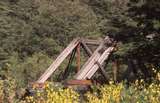
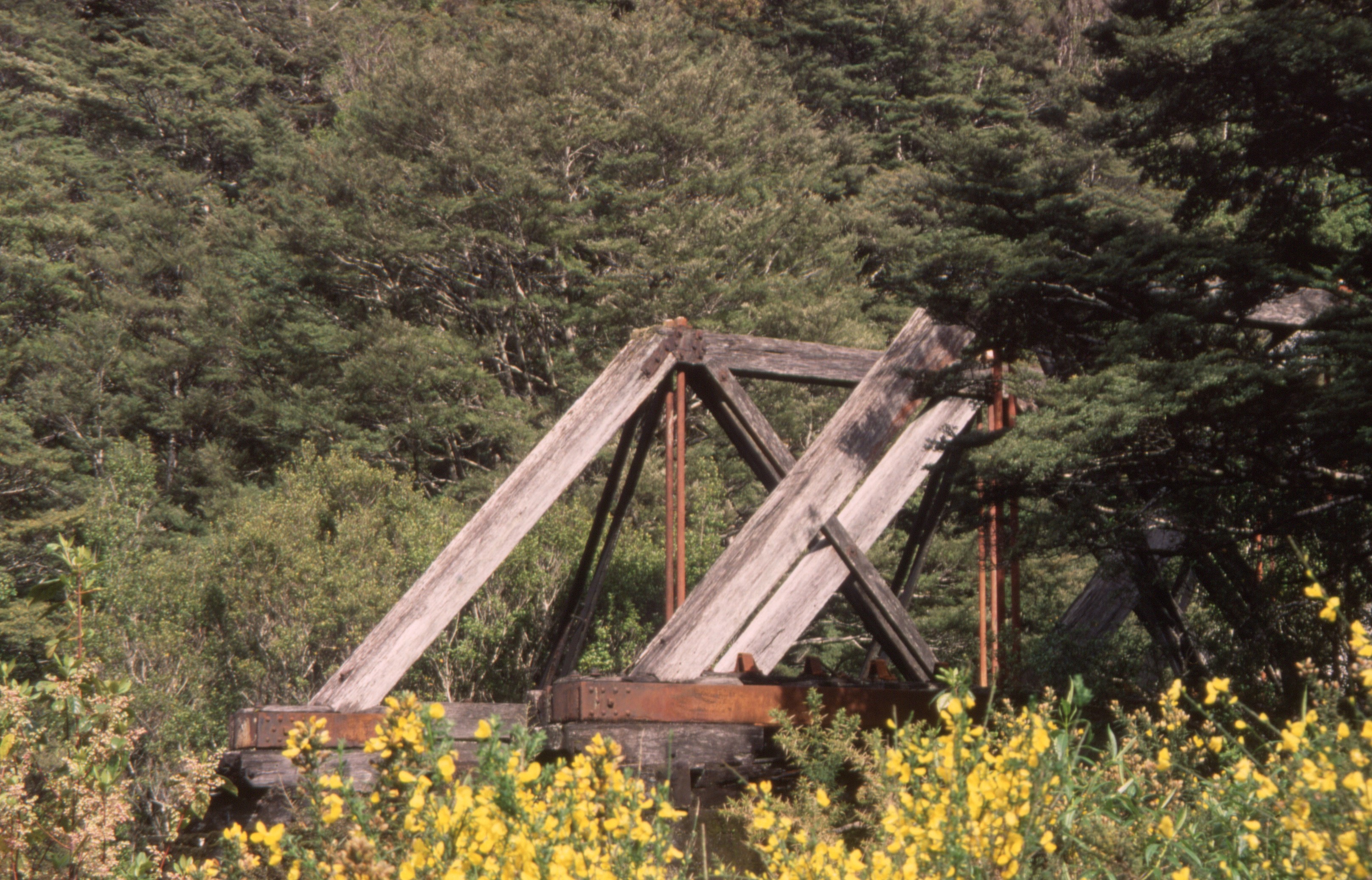
- 131886: Ford Creek Bridge Roa Incline Blackball end Note chairs for centre rail
- Date Taken: 31 October 2006
- Country: New Zealand, State/Region: South Island.
- Link to high resolution image: /media/photos/131886.jpg
- 131887: Ford Creek Bridge Roa Incline Blackball end Note chairs for centre rail
- Date Taken: 31 October 2006
- Country: New Zealand, State/Region: South Island.
- Link to high resolution image: /media/photos/131887.jpg
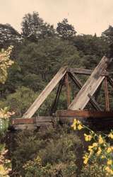
- 131888: Ford Creek Bridge Roa Incline viewed from North side
- Date Taken: 31 October 2006
- Country: New Zealand, State/Region: South Island.
- Link to high resolution image: /media/photos/131888.jpg
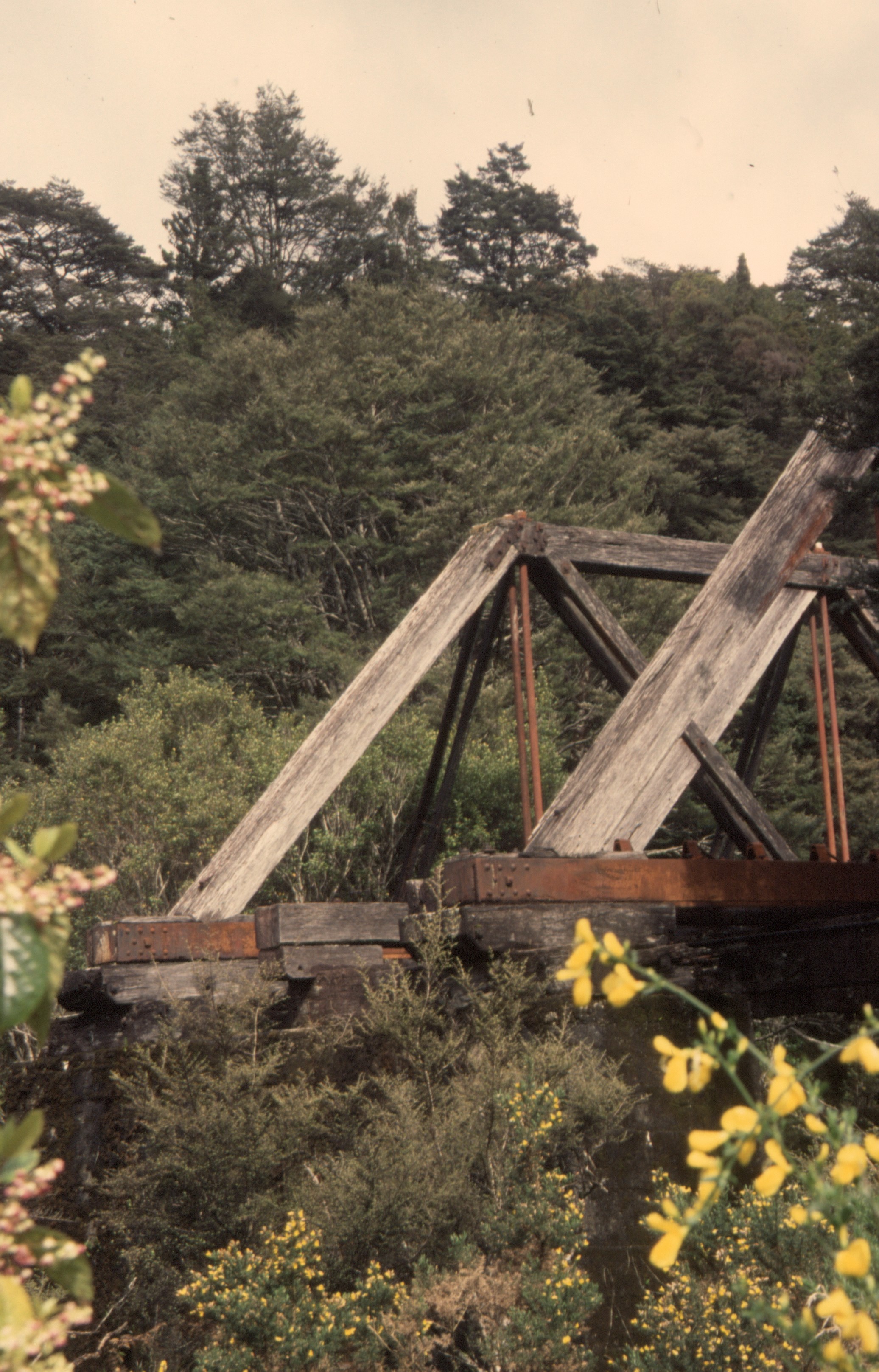
- 131889: Ford Creek Bridge Roa Incline viewed from North side
- Date Taken: 31 October 2006
- Country: New Zealand, State/Region: South Island.
- Link to high resolution image: /media/photos/131889.jpg
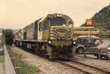
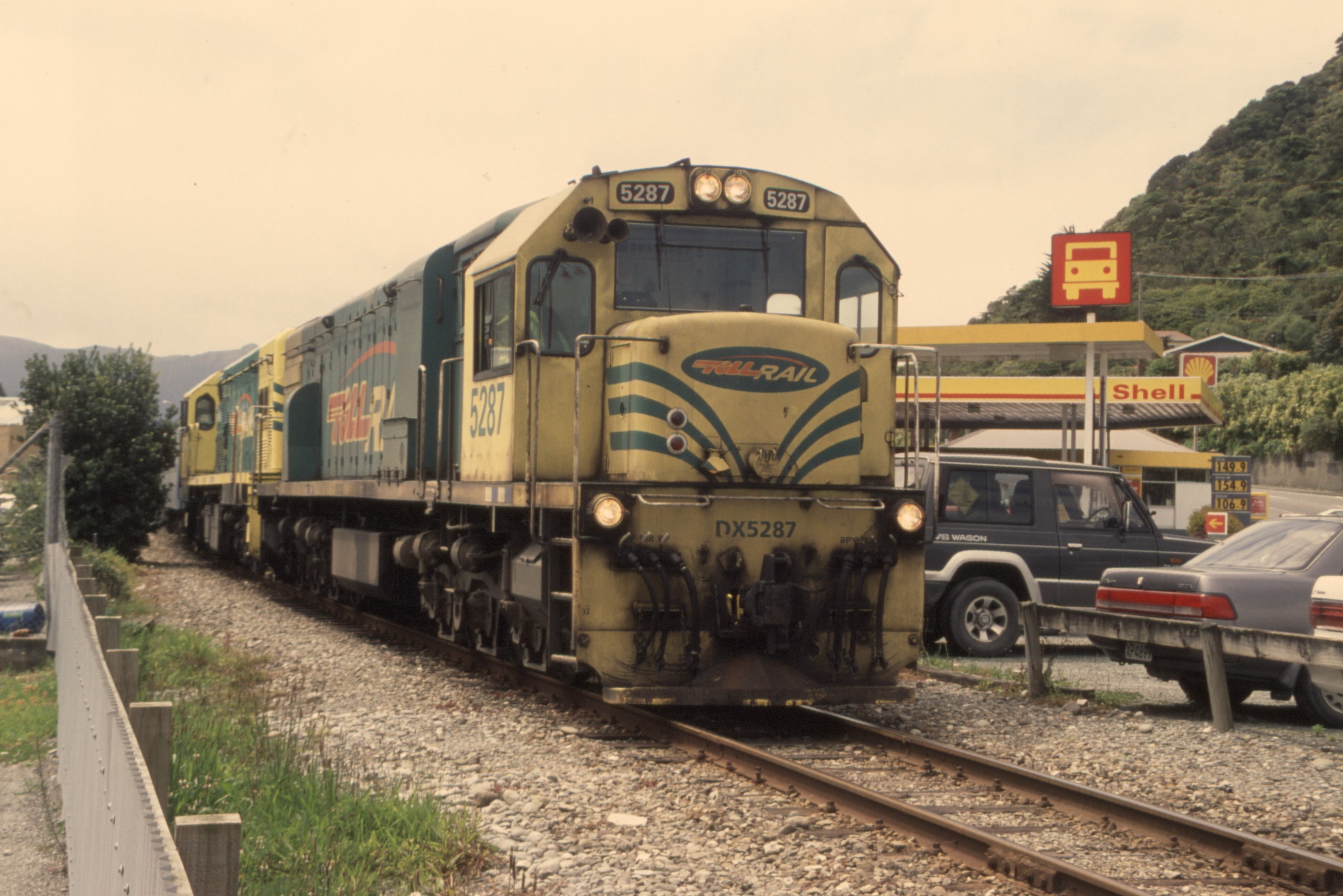
- 131890: Greymouth Tanui Street Level Crossing Empty Cars to Elmer Lane DX 5287 DCP 4801
- Date Taken: 31 October 2006
- Country: New Zealand, State/Region: South Island.
- Link to high resolution image: /media/photos/131890.jpg

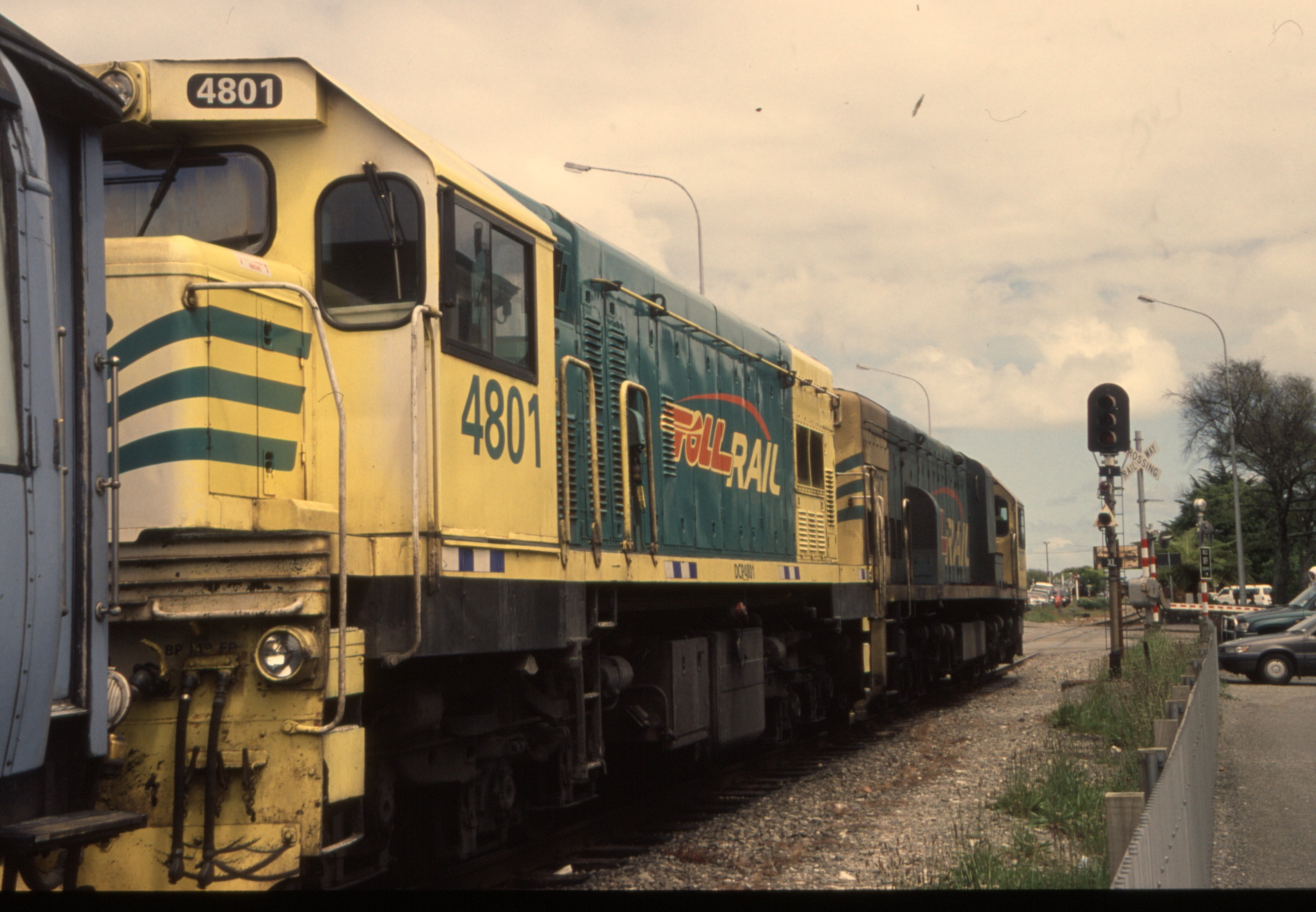
- 131891: Greymouth Tanui Street Level Crossing Empty Cars to Elmer Lane DX 5287 DCP 4801
- Date Taken: 31 October 2006
- Country: New Zealand, State/Region: South Island.
- Link to high resolution image: /media/photos/131891.jpg

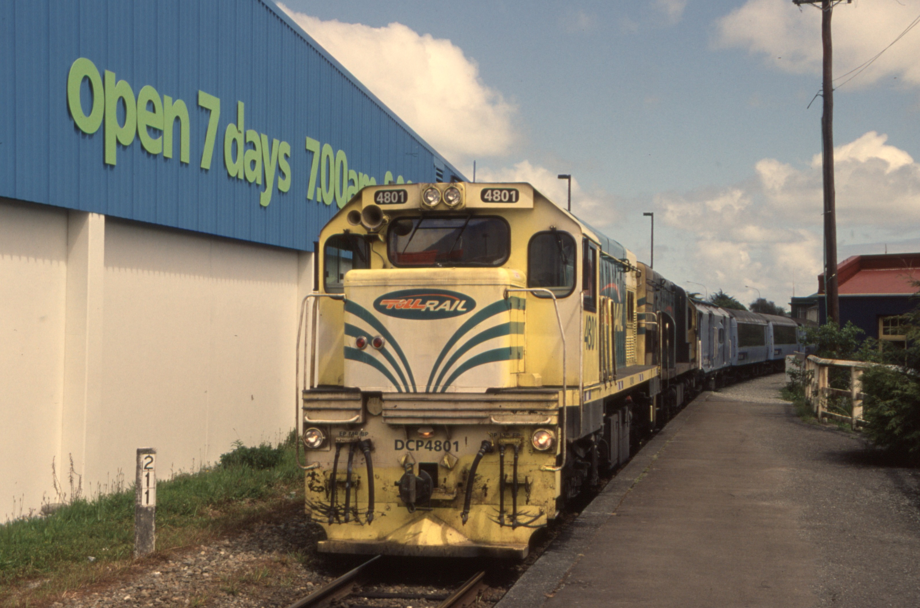
- 131892: Greymouth Empty Cars from Elmer Lane to form 'Tranz Alpine' to Christchurch DCP 4801 DX 5287
- Date Taken: 31 October 2006
- Country: New Zealand, State/Region: South Island.
- Link to high resolution image: /media/photos/131892.jpg
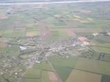
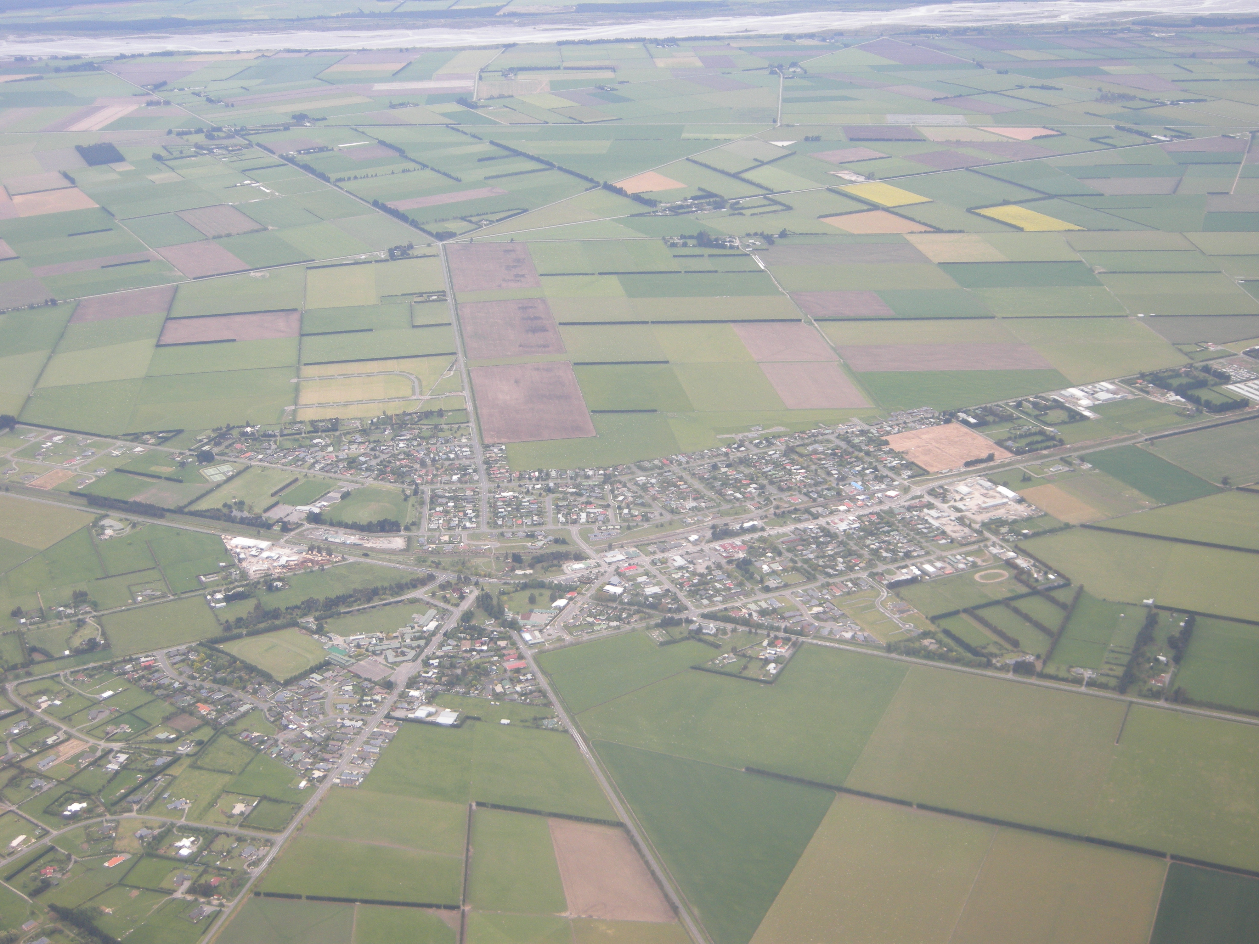
- 135797: Darfield Christchurch to right
- Date Taken: 21 October 2009
- Country: New Zealand, State/Region: South Island.
- Link to high resolution image: /media/photos/135797.jpg
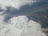
- 201536: New Zealand Southern Apps viewed from plane
- Date Taken: 21 October 2009
- Country: New Zealand, State/Region: South Island.
- Link to high resolution image: /media/photos/201536.jpg
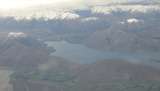
- 201537: Lake Coleridge New Zealand viewed from plane
- Date Taken: 21 October 2009
- Country: New Zealand, State/Region: South Island.
- Link to high resolution image: /media/photos/201537.jpg
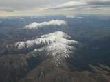
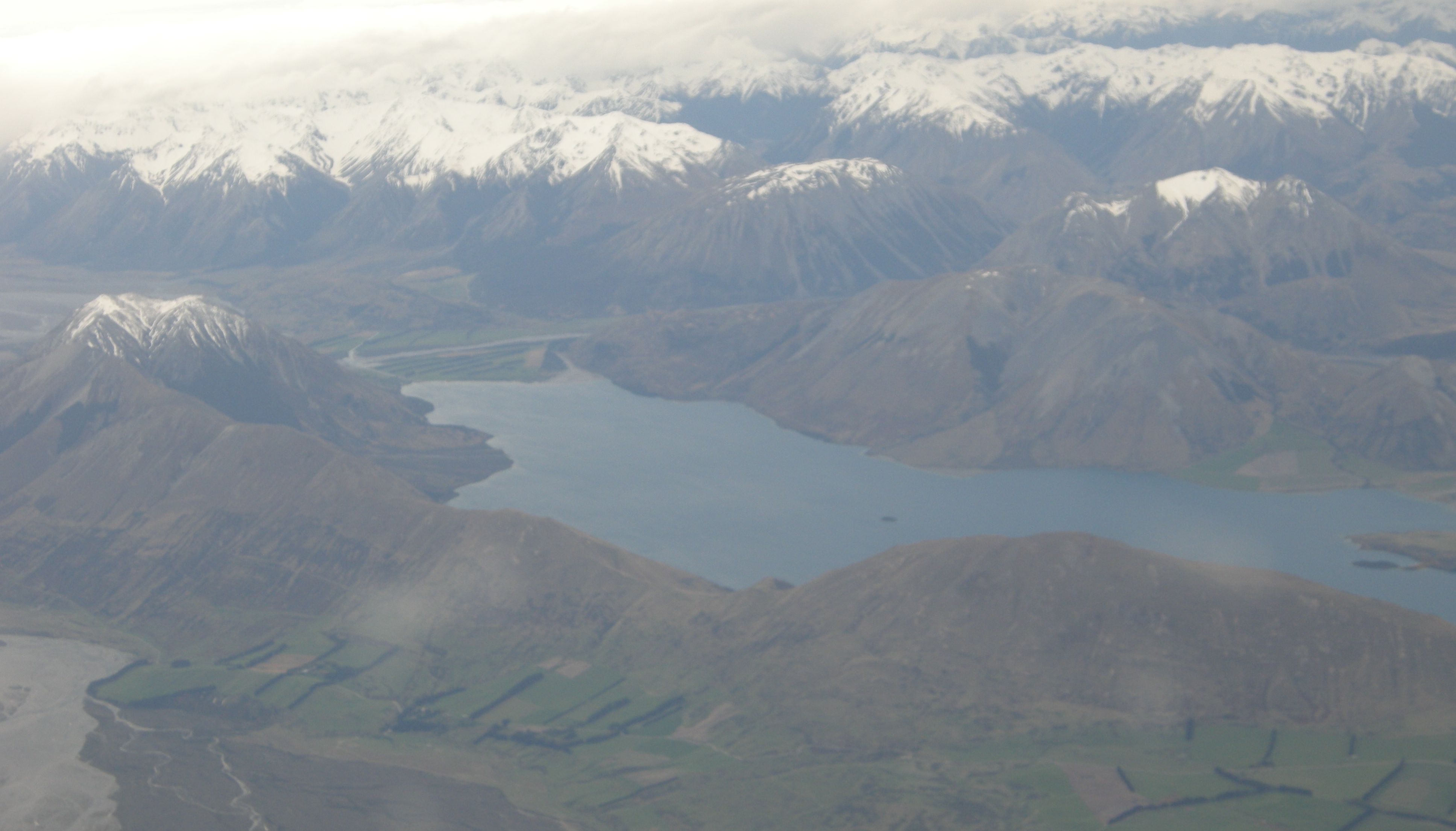
- 201538: New Zealand Southern Alps viewed from Plane
- Date Taken: 21 October 2009
- Country: New Zealand, State/Region: South Island.
- Link to high resolution image: /media/photos/201538.jpg
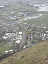
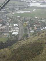
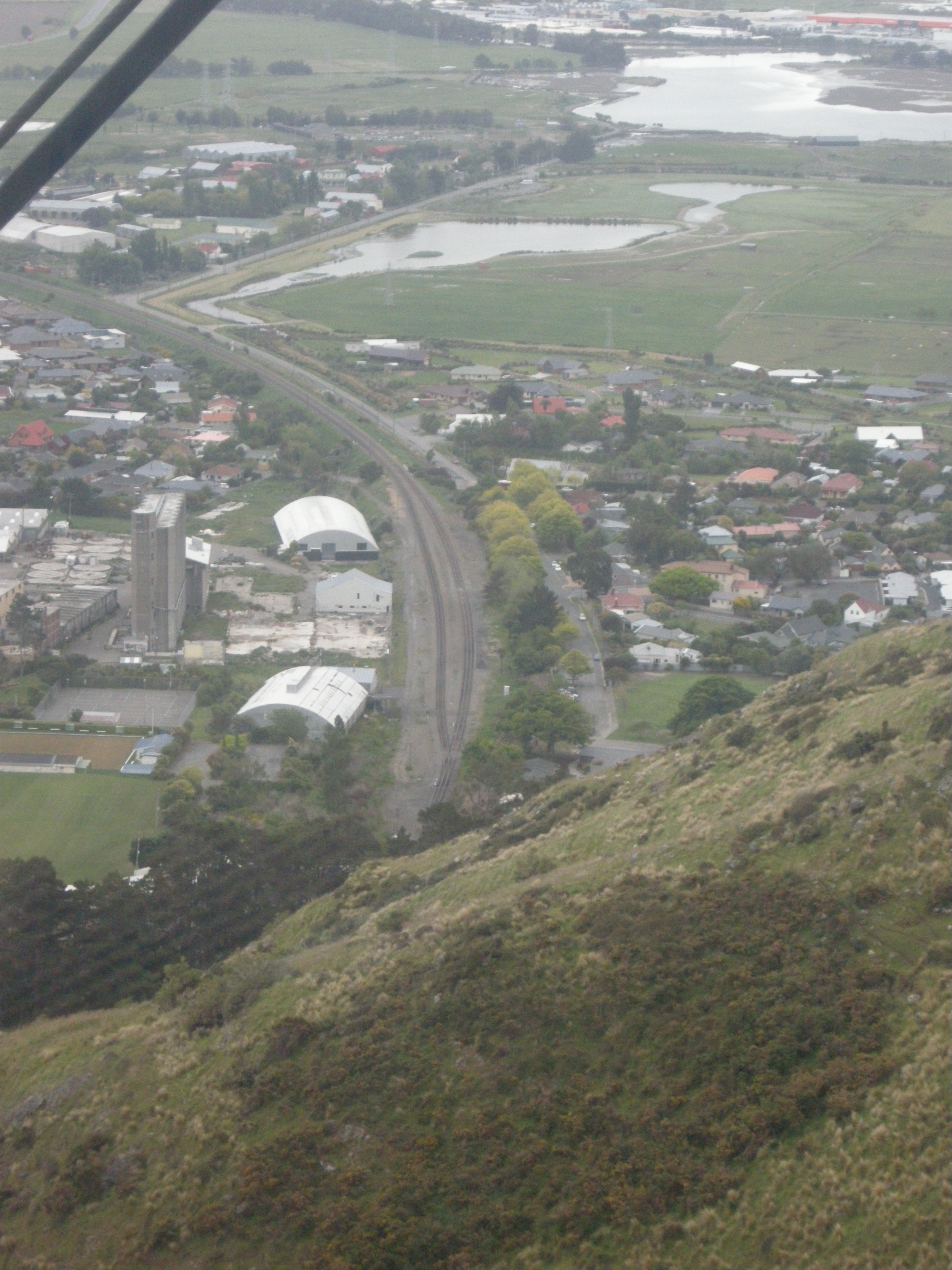
- 135798: Heathcote Viewed from Gondola
- Date Taken: 22 October 2009
- Country: New Zealand, State/Region: South Island.
- Link to high resolution image: /media/photos/135798.jpg
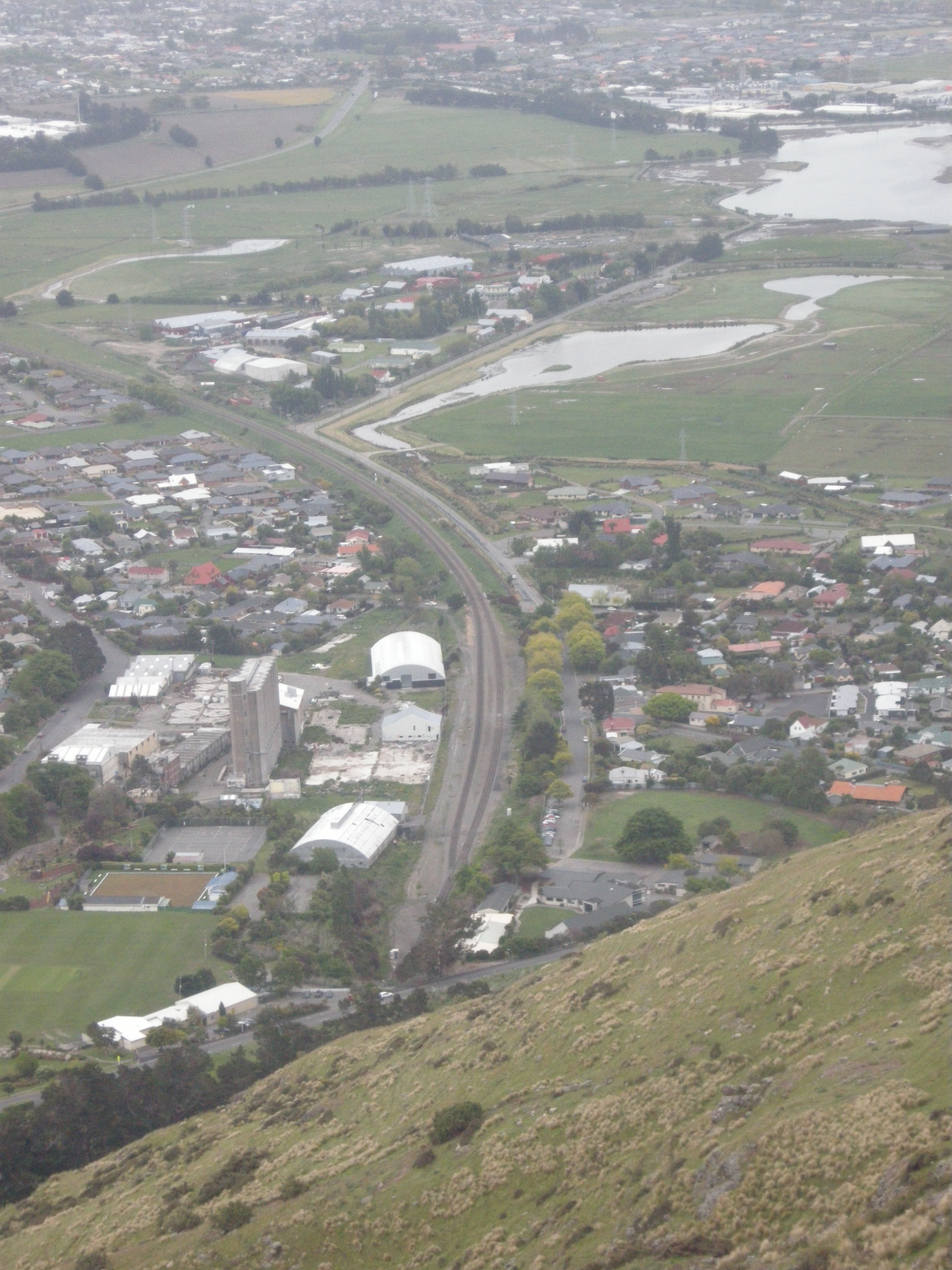
- 135799: Heathcote Viewed from Gondola
- Date Taken: 22 October 2009
- Country: New Zealand, State/Region: South Island.
- Link to high resolution image: /media/photos/135799.jpg
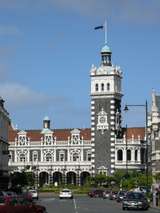
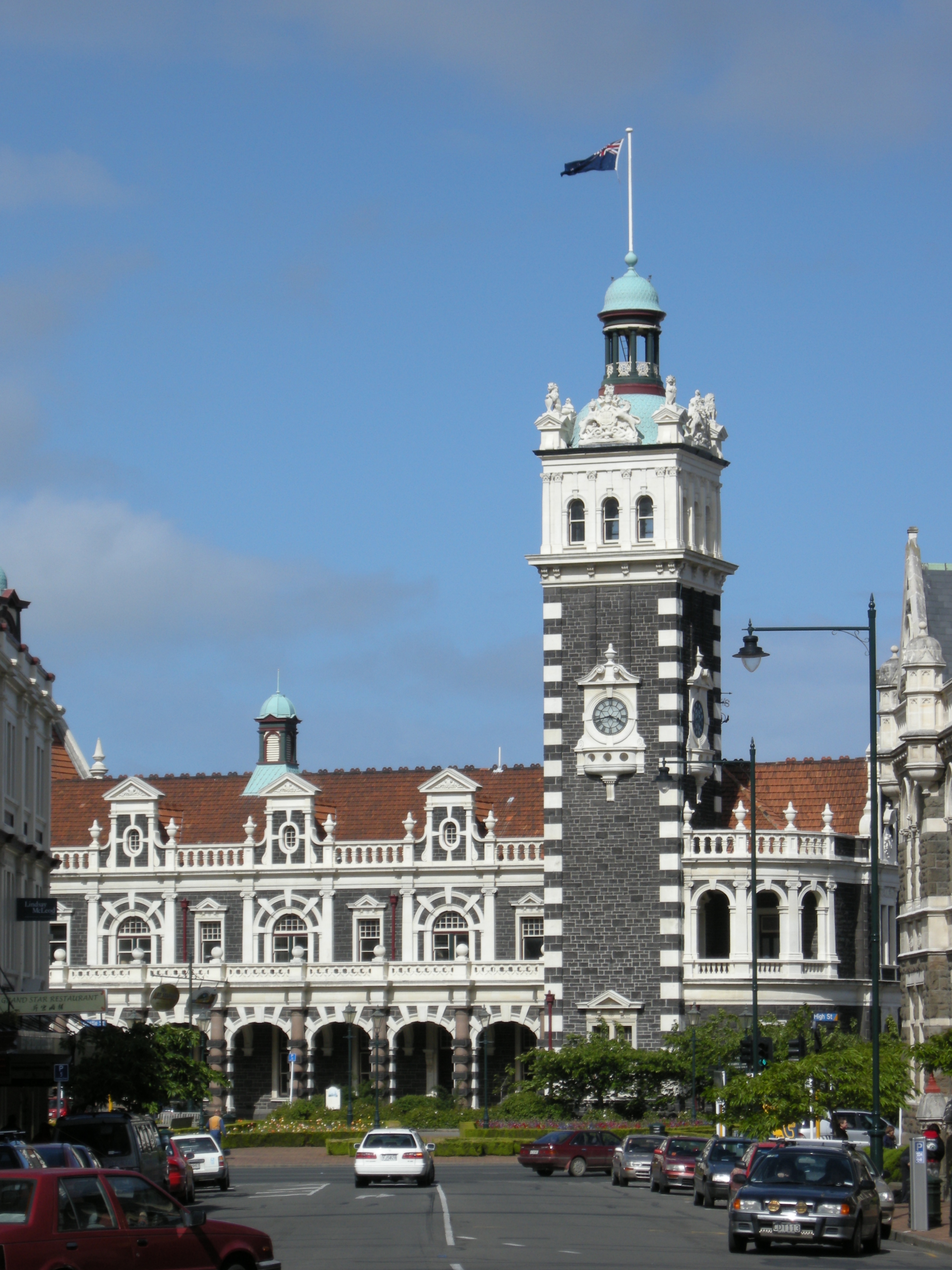
- 135800: Dunedin Station street side
- Date Taken: 22 October 2009
- Country: New Zealand, State/Region: South Island.
- Link to high resolution image: /media/photos/135800.jpg